Museo Egizio × Gruppo FS · Archeolog

Reading the ground.A journey into archaeology, layer by layer

Scroll to dig

Scegli la lingua · Choose your language

How does an archaeological excavation work?
Who works on it, and what tools do they use?

How do archaeologists reconstruct the past from layers of soil?

Did you know that building a road or a railway can also lead to important archaeological discoveries?
And what happens when a find is uncovered on a construction site?

These are just some of the questions we will try to answer. Join us on a journey to discover archaeology, its methods and the many professions that help reconstruct, protect and present our past.

Just like on a real excavation, go layer by layer: scroll down to continue exploring!

01The project

The project.Two places, one story

The collaboration between Gruppo FS and the Museo Egizio, launched to mark the Museum's bicentenary, continues in 2026 with new digital initiatives and activities for the public.

This page will guide you through the work of archaeologists: from analysing the landscape to stratigraphic excavation, and from modern survey technologies to preventive archaeology.

This journey puts the Museo Egizio's research in Egypt in dialogue with archaeological work carried out in Italy as part of Gruppo FS's major infrastructure projects. It shows how building new roads and railways can also be a chance to learn about and protect archaeological heritage.

Through Archeolog, a non-profit organisation within Gruppo FS, discoveries made during construction can be studied, presented and shared with the community.

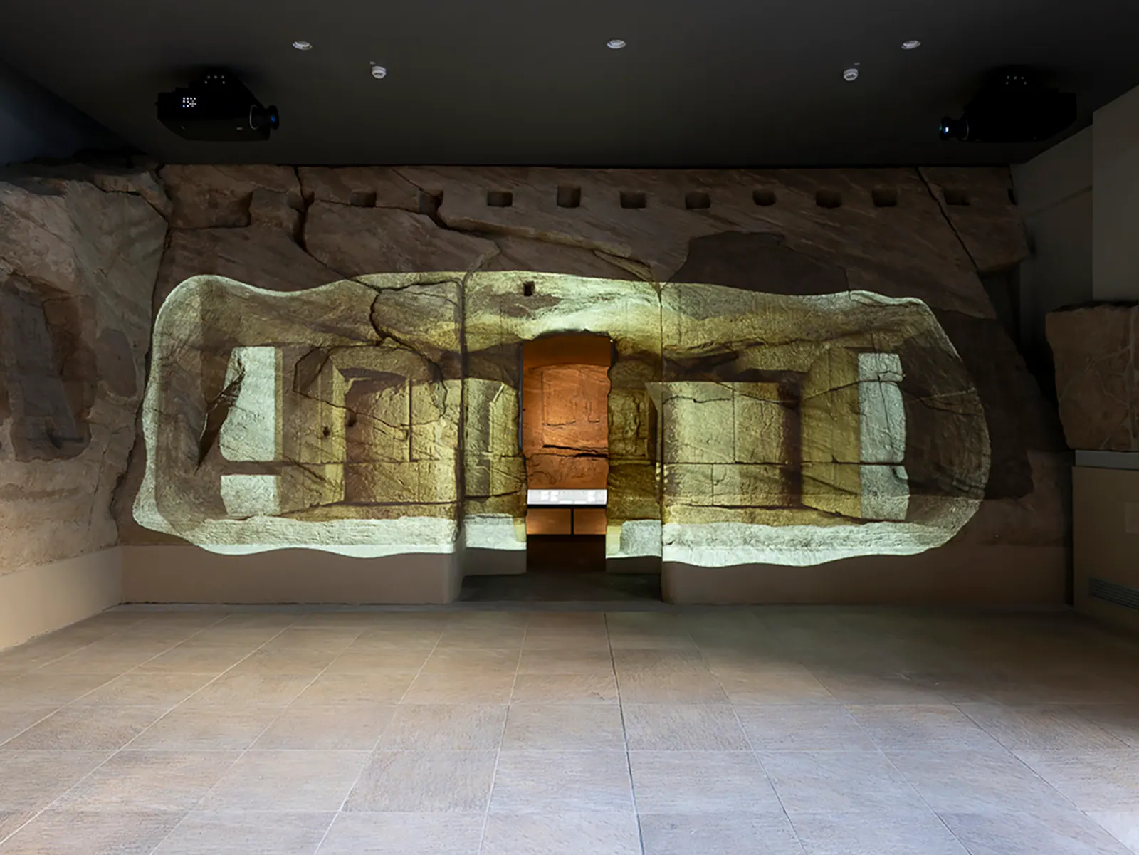
The rock-cut chapel of Ellesiya on display in a room of the Museo Egizio, its stone walls lit up.© Museo Egizio

The project also takes shape in the galleries of the Museo Egizio

In the room dedicated to the rock-cut chapel of Ellesiya, an installation on archaeological stratigraphy invites you to discover how archaeologists interpret the traces of the past and reconstruct the history of places. Come and see it!

02Before the excavation: reading the landscape

The landscape.The material memory of a place

Reconstructing and studying an archaeological context is not just about analysing a single monument or site. It also means looking at the surrounding landscape.
The landscape is what happens when the natural environment and human activity intertwine. It is not simply what we see today, but the result of transformations that have unfolded over time, and are still taking place.
Think of it as the ‘material memory of a place’, something we can read through the traces left by natural processes and human activity.

Including the traces left by archaeologists themselves.

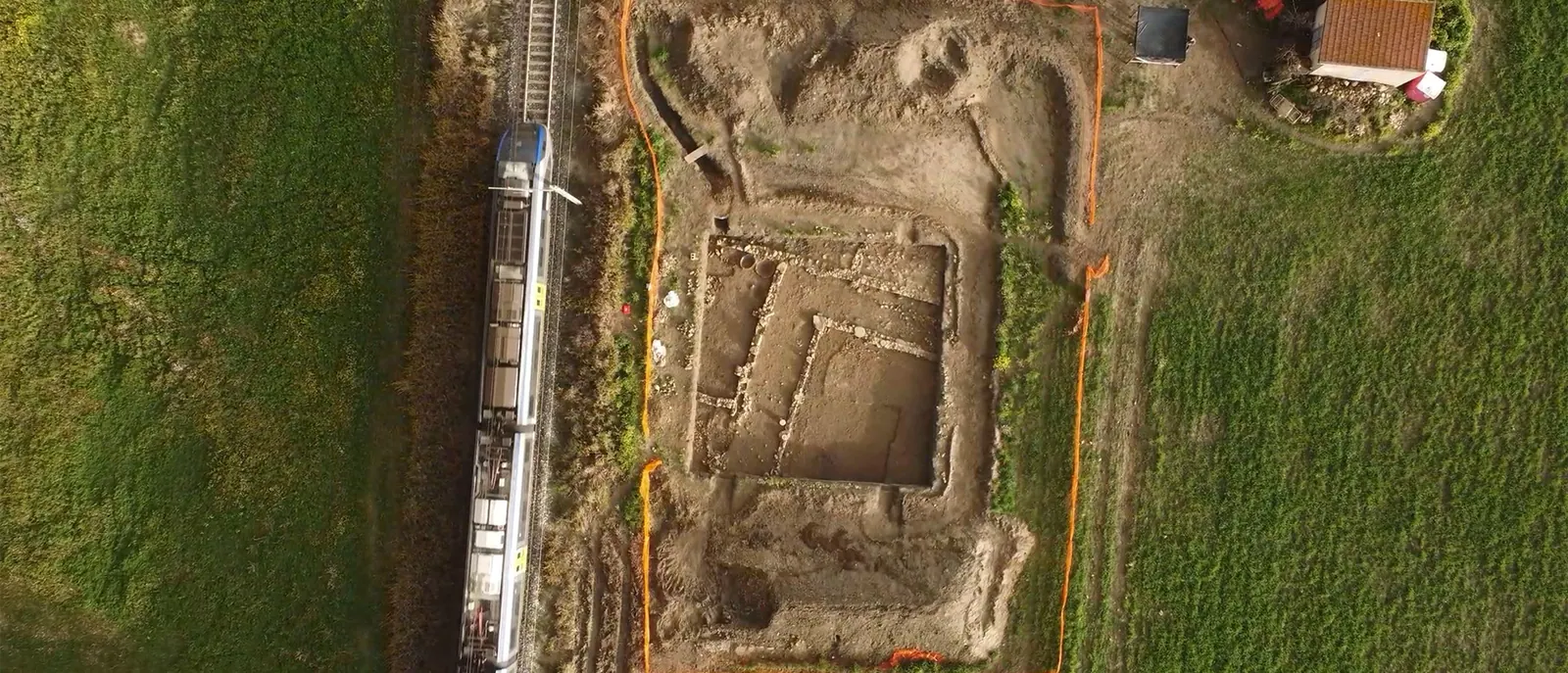
Aerial view of an archaeological excavation next to a railway line: the stone foundations of a building emerge among the fields as a train passes on the tracks.© Archeolog – Gruppo FS
A preventive archaeology excavation along a railway line, seen from a drone.
02Before the excavation: reading the landscape

How do you decide
where to dig?

The choice of where to dig can be determined by the existence of archaeological evidence, even if only partially visible on the surface, or it can be the result of research into historical sources.
Source 1

Written and iconographic sources

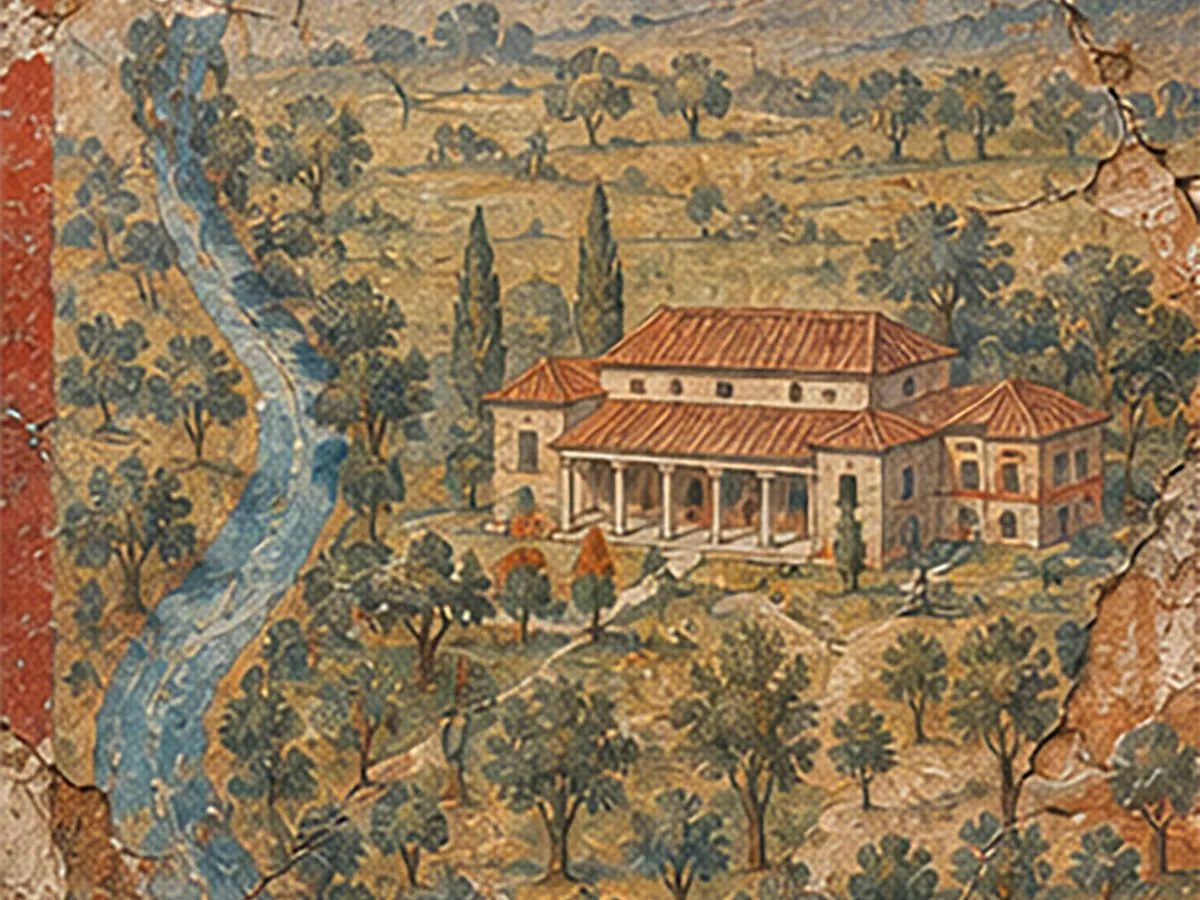
To identify a site, archaeologists draw on a range of different tools and methods. They study written records, inscriptions and images, like frescoes and paintings. They read publications on earlier research, and study maps, the shape of the land and place names that might hint at ancient settlements. They also look at aerial photos and satellite images. Finally, they run non-invasive scans of the ground using ground-penetrating radar and magnetometry (a way of mapping magnetic differences underground).
Source 2

Historical maps

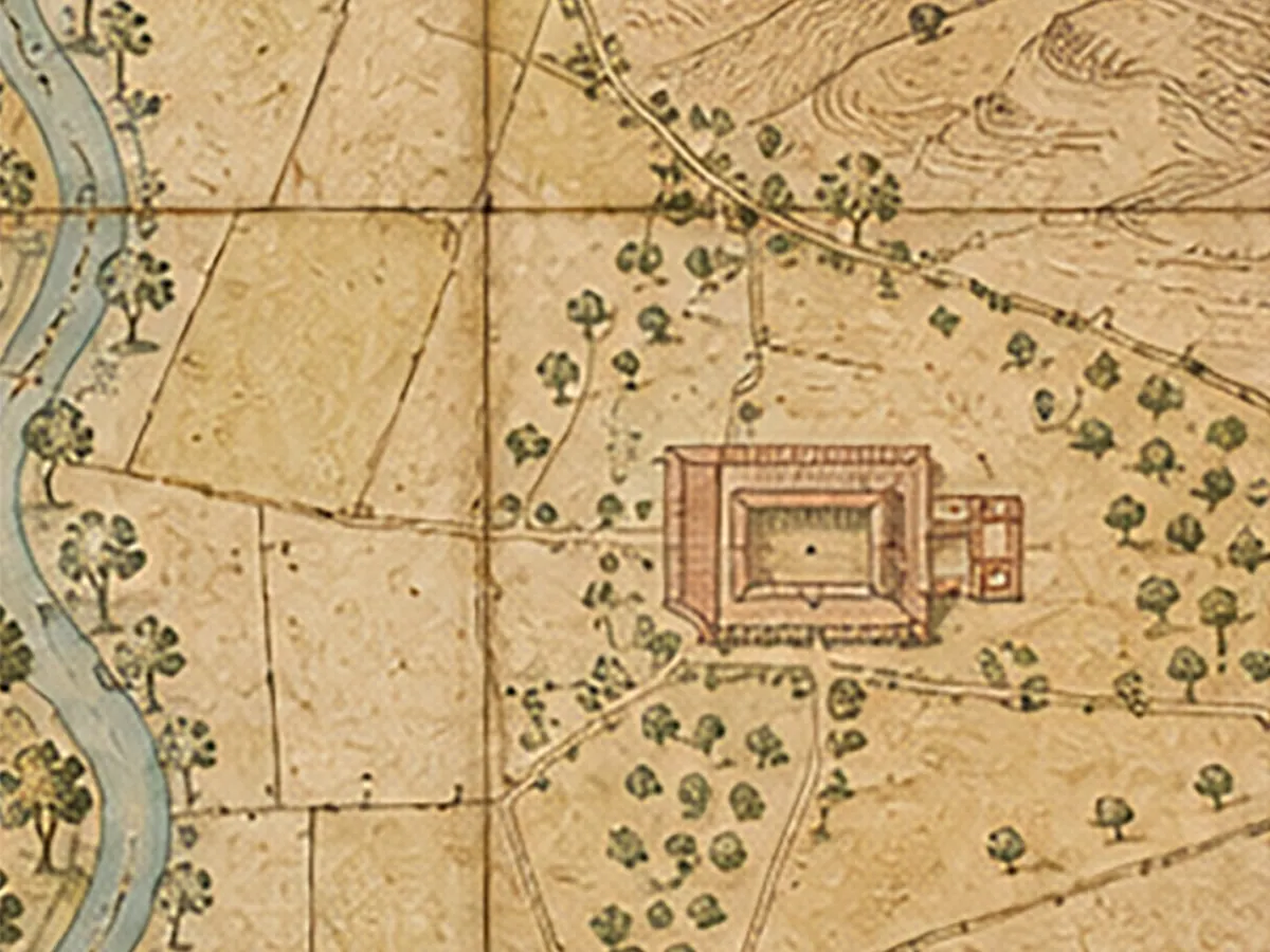
Old maps can attest to roads, ruins and boundaries that have since disappeared.
Source 3

Place names and landforms

Place names such as “Le Mura” (“the walls”) or “Fosso dei Cocci” (“potsherd ditch”) can point to ancient settlements.
Source 4

Aerial photographs

Seen from above, the landscape can reveal archaeological traces that are invisible from the ground. Differences in vegetation growth, soil colour or the shape of the land can indicate buried structures.
Source 5

Satellite imagery

Multispectral images reveal anomalies that are invisible to the naked eye.
Source 6

Ground-penetrating radar and magnetometry

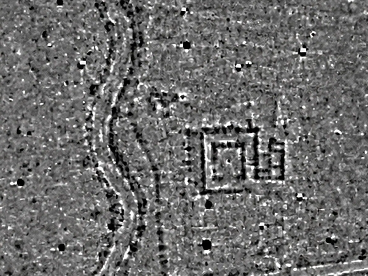
Non-invasive geophysical surveys “see” beneath the surface, without digging.
Source 7

Surface survey

Alongside these activities are surface surveys, in which teams of archaeologists walk an area on foot in evenly spaced lines, using a fixed set of reference points to make sure no ground is missed. As they walk, they collect materials visible on the ground and note any unusual concentrations that might point to archaeological evidence.

The site has been identified.

03How does an archaeological excavation work?

The stratigraphic method.Every layer, an action

The principles of archaeological stratigraphy are based on those of geological stratigraphy. In archaeology, this method began to be used in Great Britain from the mid-nineteenth century, before gradually spreading around the world.

Stratification is the result of natural or anthropic events (that is, events linked to human activity), such as erosion and destruction, movement and transport, and deposition and accumulation, all of which reshape a landscape.
As these events follow one another, interspersed with pauses, they create the layers and surfaces that need to be identified in order to reconstruct the history of a site.
Excavation, a destructive and irreversible act, proceeds by removing these layers in the reverse order to that in which they formed.
Even the present can be read as an archaeological layer in the making: everything we walk on today forms the deposit of the future, one that tomorrow's archaeologists will study to interpret our own era.

This raises a question: which traces of our everyday lives will be able to tell future generations who we were?

The SU and the relationships between SUs

In archaeology, each layer, together with its upper surface, is called a Stratigraphic Unit, or SU for short.
The SU is the basic unit for reading an excavation, and each one corresponds to a single natural or human event. Take the collapse of a brick wall, for example: the earth and other materials that piled up between the bricks, together with the top surface of the collapse (the boundary separating it from what comes next), all form a single SU.
Excavations also turn up negative SUs: cuts or erosion marks in the ground.

The Harris matrix

Depending on how complex the stratification is, and the method used, a single excavation can turn up a huge number of SUs. For this reason, archaeologists need a way to arrange them in chronological order, keeping track of what came before and what came after.
Since 1979, they have had a tool for exactly that: the system devised by Edward C. Harris, known as the matrix, or stratigraphic diagram. It is a graphical representation. Each SU, marked with its own number, sits in its exact place in the chronological sequence of events. Vertical lines connect it to the SU before it and the one after.
In the diagram, the most recent SUs and phases appear at the top, with older ones placed progressively lower down.
Remember that the Harris matrix is not a picture of a vertical slice of the ground. It only shows how events and SUs relate to each other in time (before, at the same time as, or after one another), without unnecessary repetition.

Relative and absolute chronology

Studying the layers of an excavation lets archaeologists work out which layer formed before or after another, based on how they relate to each other. The general rule is that older layers lie beneath more recent ones.
This is called relative chronology: the ability to put events in order, working out what came first and what came after, without knowing exactly when they happened.
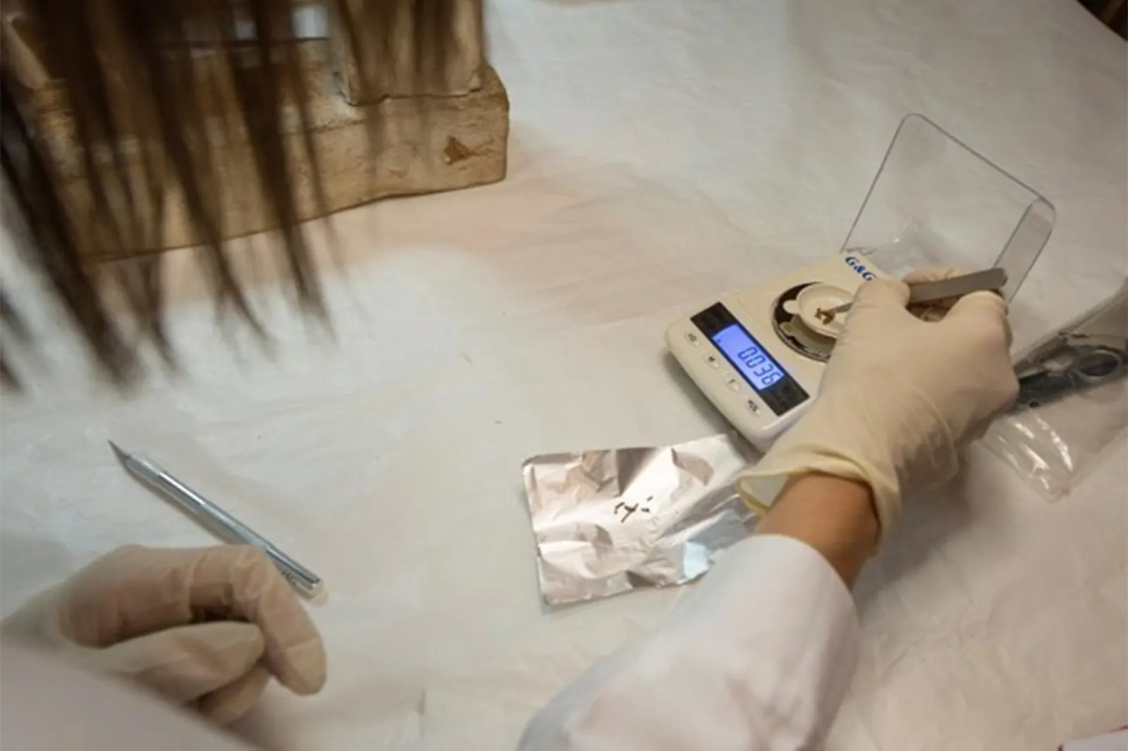
To define an absolute chronology instead (that is, to know when a particular layer formed), archaeologists have to study the finds or other materials inside it. Charcoal, for example, can be dated using the radiocarbon (C14) method.
Gloved hands in a laboratory prepare a small sample on a sheet of aluminium foil, next to a precision scale.© Museo Egizio
04The professions

Who works on an
archaeological excavation?Eleven professions, one excavation

Tap a figure to discover their tools, activities and the documentation they produce.

05Archaeology in the field: from Italy to Egypt

Preventive archaeology.Planning the future, protecting the past

Assessing the impact on cultural heritage plays a central role in planning major infrastructure networks, such as roads and railways, especially when it comes to archaeological evidence still hidden underground. This is where preventive archaeology comes in. It is an important tool that protects cultural heritage while also making it possible to plan public works with fewer unexpected problems, delays and added costs.
Over the past twenty years, preventive archaeology has steadily become part of the rules governing public contracts. The biggest public authorities now have in-house teams of specialist archaeologists, working side by side with geologists, engineers, architects and other designers from the earliest planning stages. They help shape the route and characteristics of a project, balancing construction needs with the protection of cultural heritage.
Archaeologists bring together the analysis of aerial photos, GIS and land-shape data, and archaeological maps, with fieldwork like core sampling, ground-penetrating radar, surveys and test trenches.
Core samplingGround-penetrating radarTest trenches
Together, these activities show whether the project is compatible with the archaeological remains present, and whether it can go ahead or needs to change.

Archaeological maps

The National Geoportal for Archaeology (Geoportale Nazionale per l’Archeologia, GNA), run by the Ministry of Culture's Central Institute for Archaeology, collects data from archaeological investigations carried out in Italy and makes it available to consult. It helps build a map of the whole country that is constantly being updated.
These maps are essential for identifying areas with high archaeological potential, and they form the basis for the development of the Archaeological Risk Map, which estimates how likely finds are for a given land development project. This information also helps Superintendencies (Italy's regional heritage offices), regions and municipalities protect cultural heritage while planning public works and construction sites.
Explore the National Geoportal for Archaeology (opens in a new tab)
05Archaeology in the field: from Italy to Egypt

Archeolog ETS.From discovery to presentation

  1. 2015

    Archeolog is founded by Anas and Quadrilatero Marche Umbria.

  2. 2017

    Memorandum of Understanding with the Ministry of Culture.

  3. 2018

    When Anas joined Gruppo FS, Rete Ferroviaria Italiana and Italferr (now FS Engineering) became members.

  4. 2023

    The Memorandum of Understanding with the Ministry is renewed.

Archeolog was founded in 2015 by Anas and Quadrilatero Marche Umbria. In 2018, when Anas joined Gruppo FS, Rete Ferroviaria Italiana and Italferr (now FS Engineering) became members of Archeolog. All four shared the same idea: that archaeological finds emerging during infrastructure projects could become a chance to learn about, protect and promote cultural heritage. Archeolog works with Italy's Ministry of Culture under a Memorandum of Understanding, signed in 2017 and renewed in 2023, and helps recover and share traces of the past through conservation work, exhibitions, conferences and publications.

The association brings together infrastructure companies, archaeologists, university researchers and Ministry officials in a shared effort combining development and conservation. Road and rail projects do more than just connect places and people. They also often bring important traces of history to light, turning archaeological discoveries into an added value for local communities. With this in mind, Gruppo FS treats sustainability as a form of cultural responsibility too, committing to preserving and passing on to future generations the memory of the places its infrastructure passes through.


Two voices, one excavationInterviews with someone from the Museo Egizio and someone from Archeolog2:00
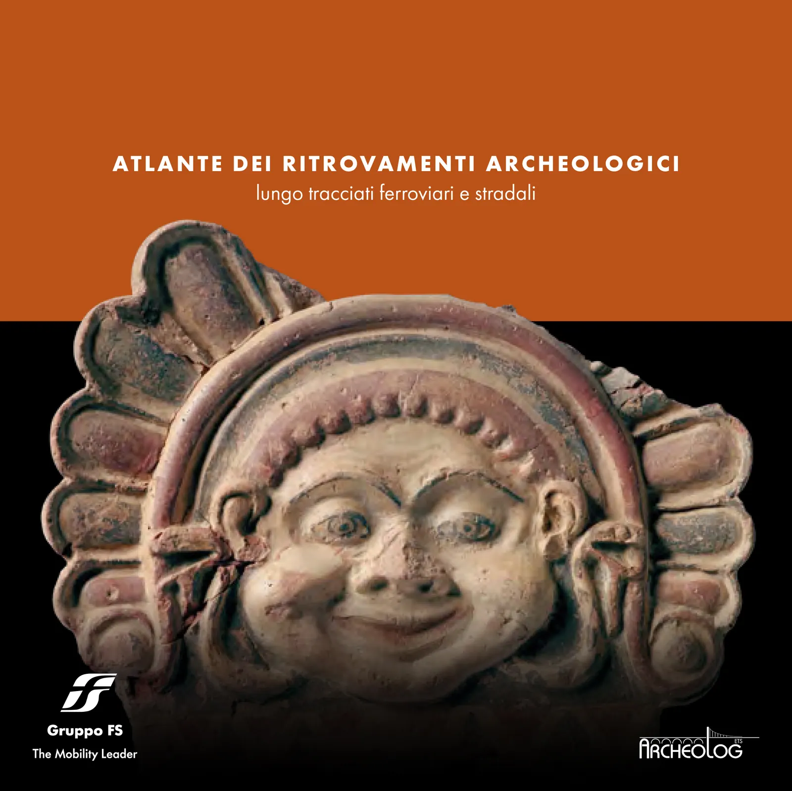
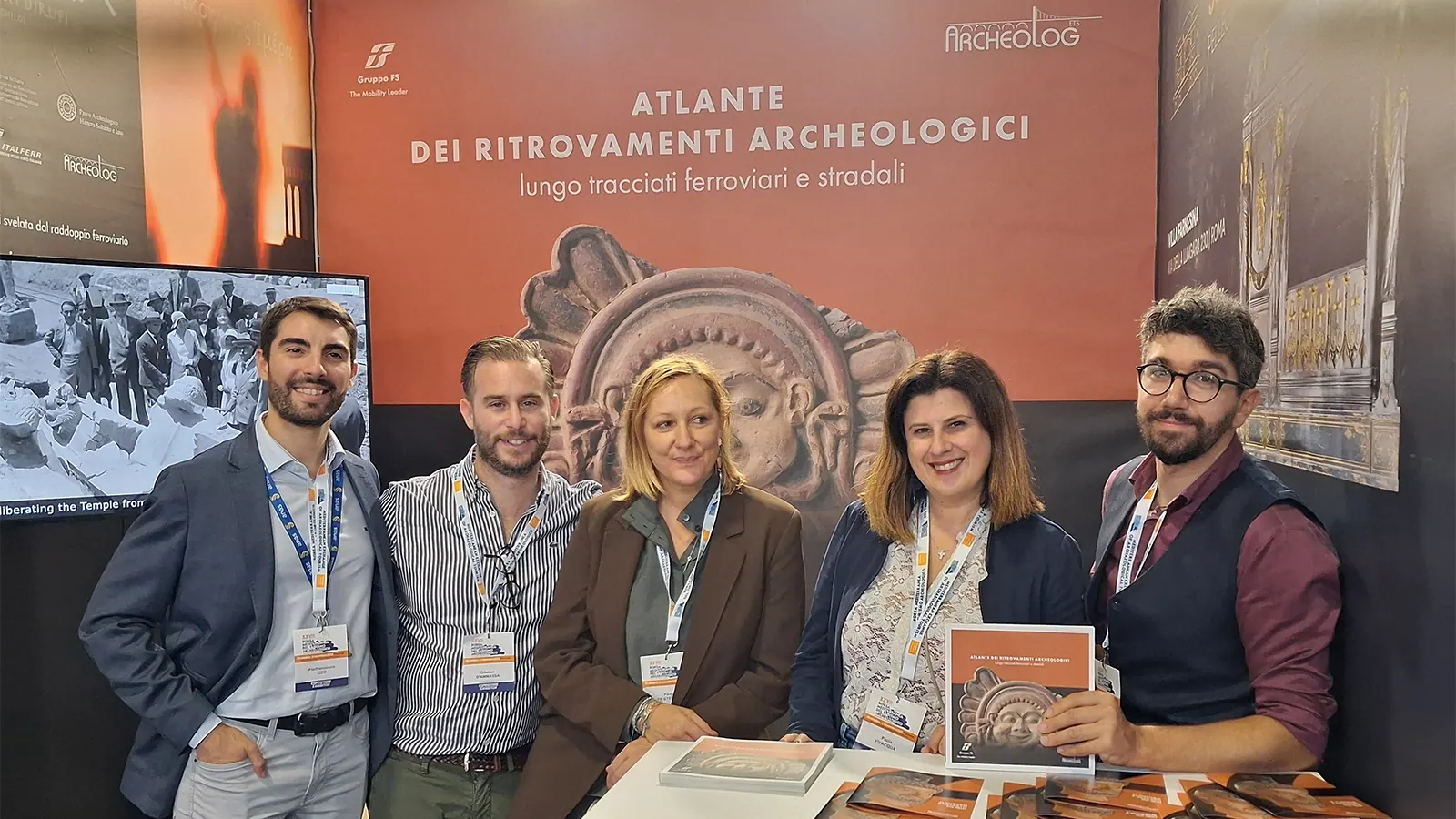
Cover of the Atlas of Archaeological Finds Along Railway and Road Routes, showing a terracotta antefix (a decorative roof tile) with a face.© Archeolog – Gruppo FS

One of the most significant initiatives is the Atlas of Archaeological Finds Along Railway and Road Routes, which gathers and presents some of the main discoveries made during infrastructure works, making them accessible to researchers and enthusiasts alike.

Other initiatives, such as exhibitions and events, can be found on the archeolog.it (opens in a new tab) website

Go to archeolog.it (opens in a new tab)
The Archeolog team at its stand at the 2025 Mediterranean Exchange of Archaeological Tourism (Borsa Mediterranea del Turismo Archeologico), in front of the Atlas of Archaeological Finds panel.© Archeolog – Gruppo FS
05Archaeology in the field: from Italy to Egypt

A day of excavation
in Italy.Preventive archaeology on the worksite

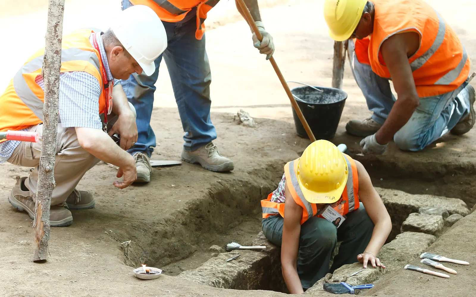
For archaeologists working on a preventive archaeology excavation in Italy, the day usually starts early in the morning, before the construction crews arrive. Working hours and activities are agreed with the site management and the company building the project. Before starting, the team checks the areas to be investigated, makes sure conditions are safe and prepares the tools needed to record the excavation.
On the first day, the excavation area is marked out and the topographic reference points are set. The archaeologist coordinates work in the field. They stay in contact with the site management and with staff from the Superintendency, which leads the scientific side of the investigation. The surface layers can be removed with mechanical diggers fitted with a smooth bucket, a kind of large shovel that scrapes away the soil. This work is done under constant archaeological supervision, to identify any traces in the ground.
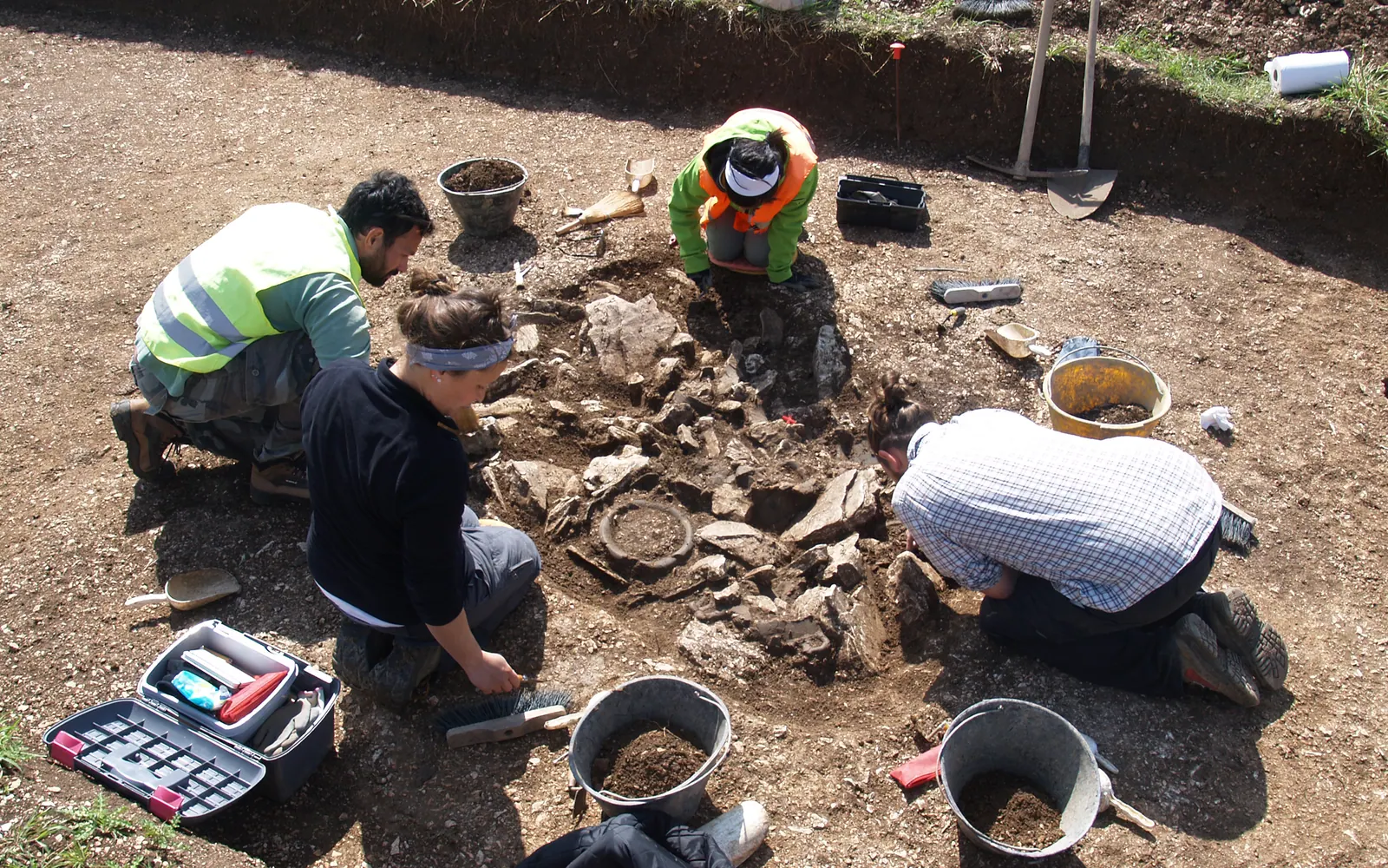
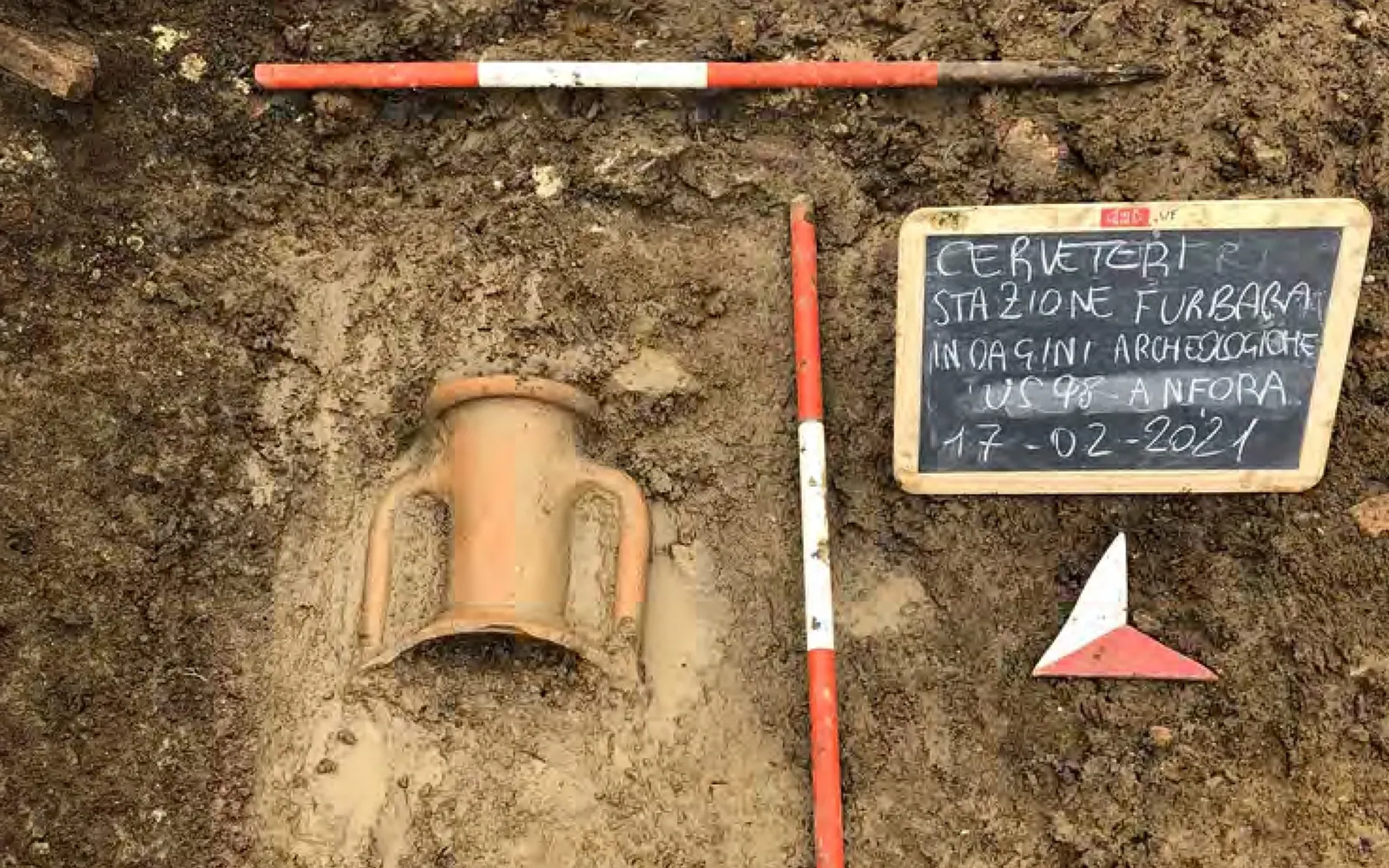
Unexpected traces can appear during excavation. A change in the colour or texture of the soil, stones laid out in a regular pattern or fragments of pottery can signal archaeological structures or deposits, sometimes even a burial. When this happens, the machines stop and digging continues by hand. The surface is carefully cleaned to identify the traces and mark their edges. They are then recorded with photographs, surveys and stratigraphic record sheets.
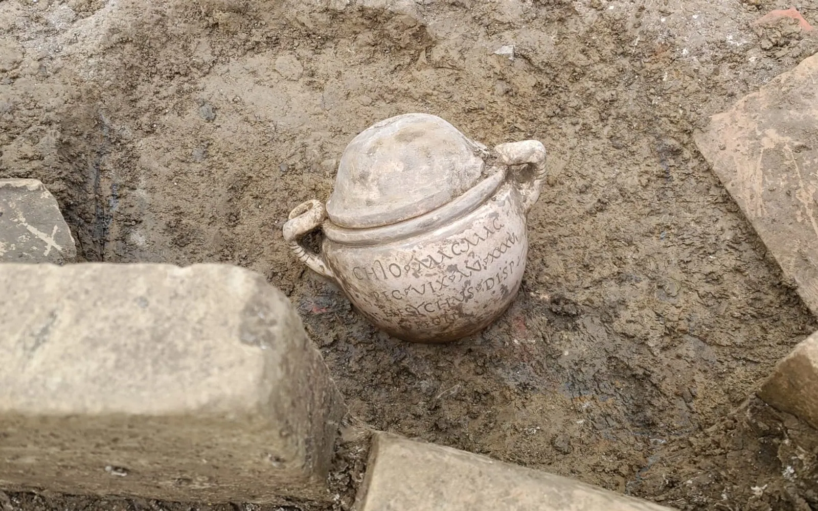
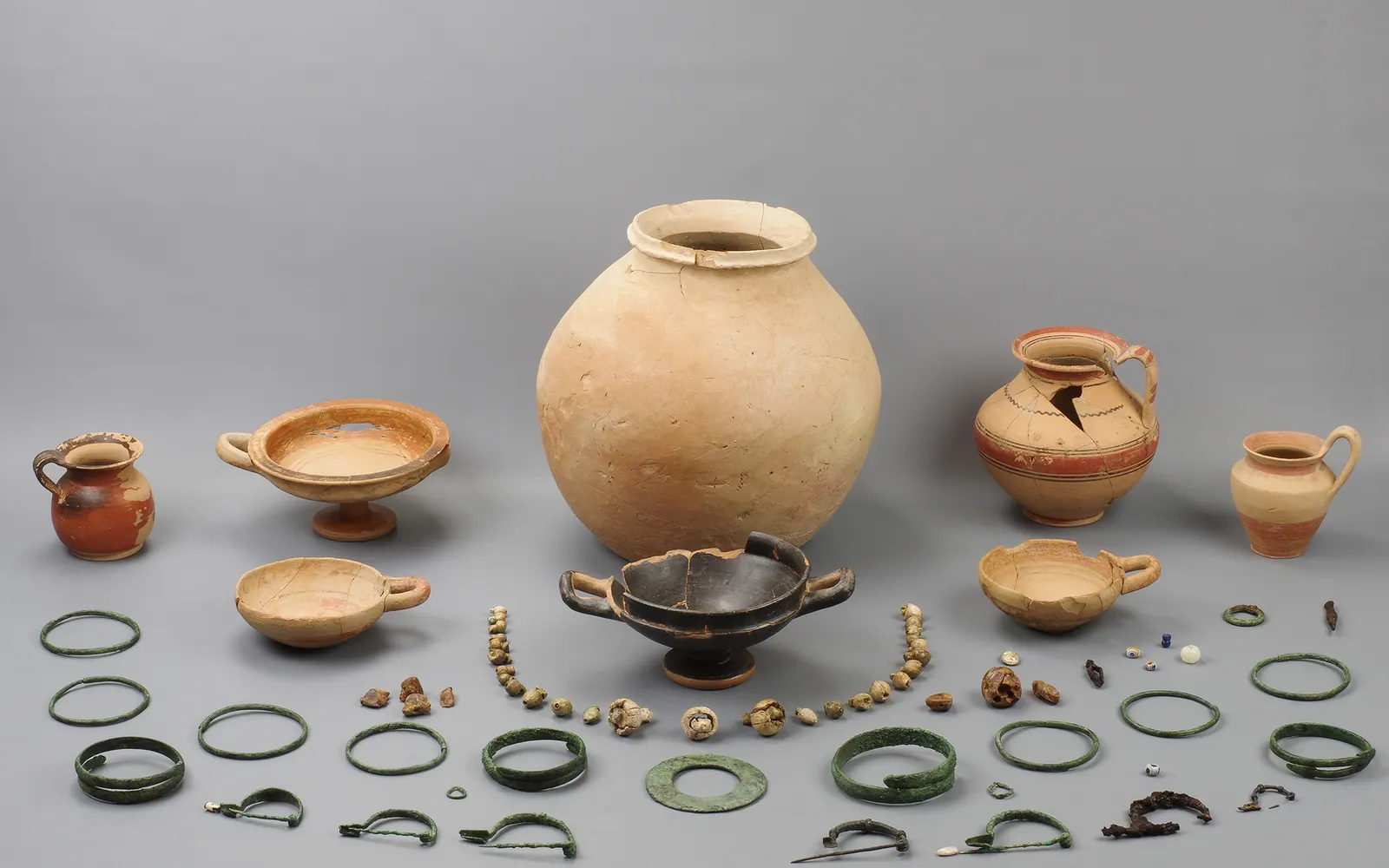
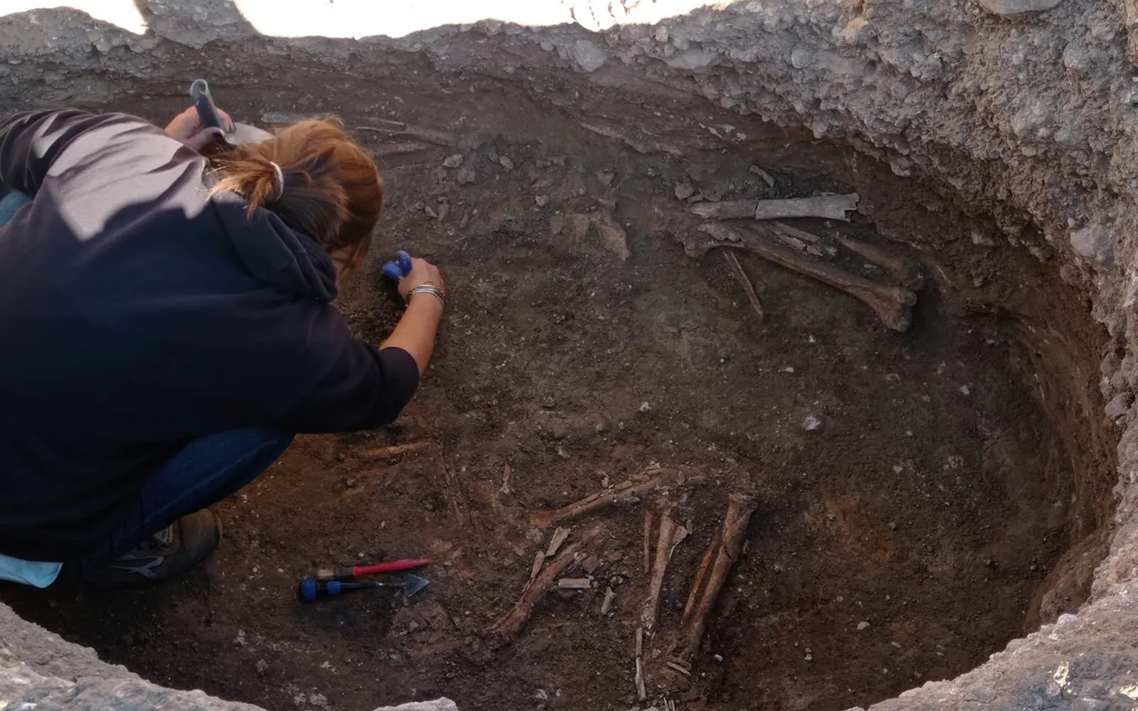
The archaeologist then excavates the burial layer by layer. They gradually remove the soil deposits, identify and record each stratigraphic unit (SU) and recover the finds. Human remains and grave goods (objects buried with the dead) may appear, such as oil lamps, coins or small pottery vessels. These are examined by specialists. Each item is photographed and its position is recorded with surveys and measurements. This helps reconstruct the burial context.
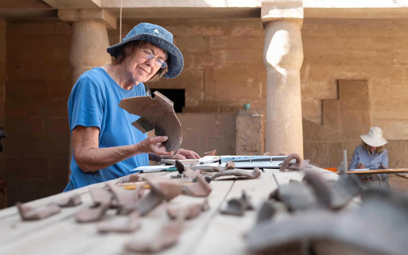
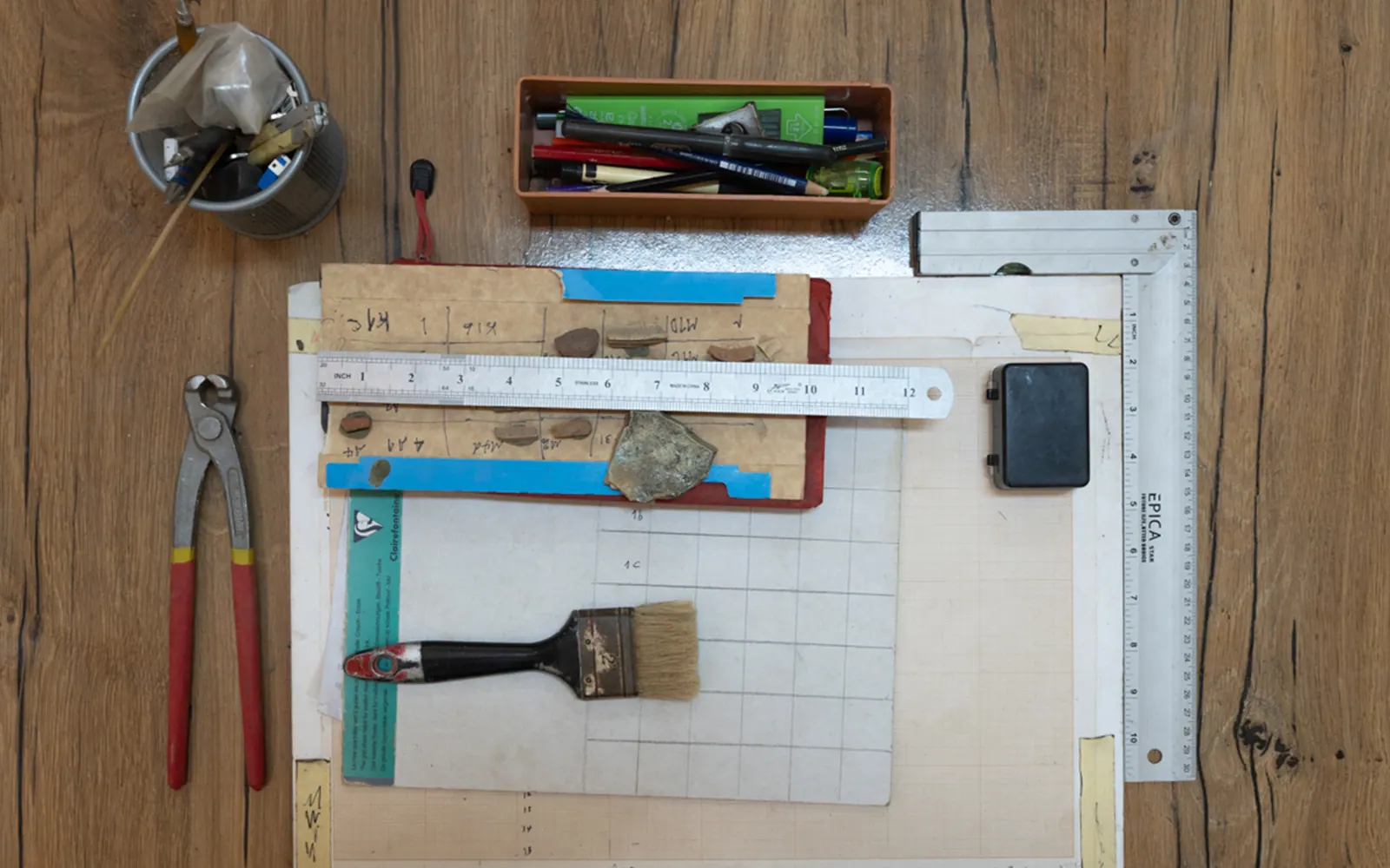
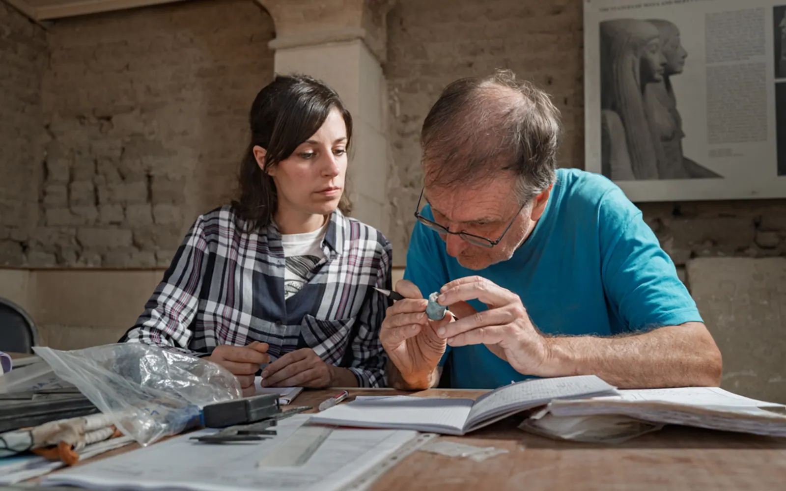
Records are updated throughout the excavation. The archaeologist in charge describes the features of the burial, fills in the stratigraphic record sheets and records the day's activities in the excavation diary. If a pottery vessel is found, a ceramic specialist is called in. They analyse its fabric (the clay mix), shape and decoration, which helps work out what it was used for and when it was made. There is a short break mid-morning, then work continues until lunch.

Once the burial has been fully excavated, the finds are cleaned, catalogued and stored in suitable conditions. They are then moved to places chosen by the Superintendency. The data collected are analysed and compared with data from other archaeological sites in the area.

At the end of the day, the archaeological team updates the technical records of the work done. The results go into a preliminary archaeological report. This is sent to the Superintendency for assessment, and the final documentation follows later.

In this way, preventive archaeology makes it possible to identify, study and protect evidence of the past. It balances protecting archaeological heritage with building new infrastructure.

05Archaeology in the field: from Italy to Egypt

Where does
the Museo Egizio excavate?Four sites along the Nile

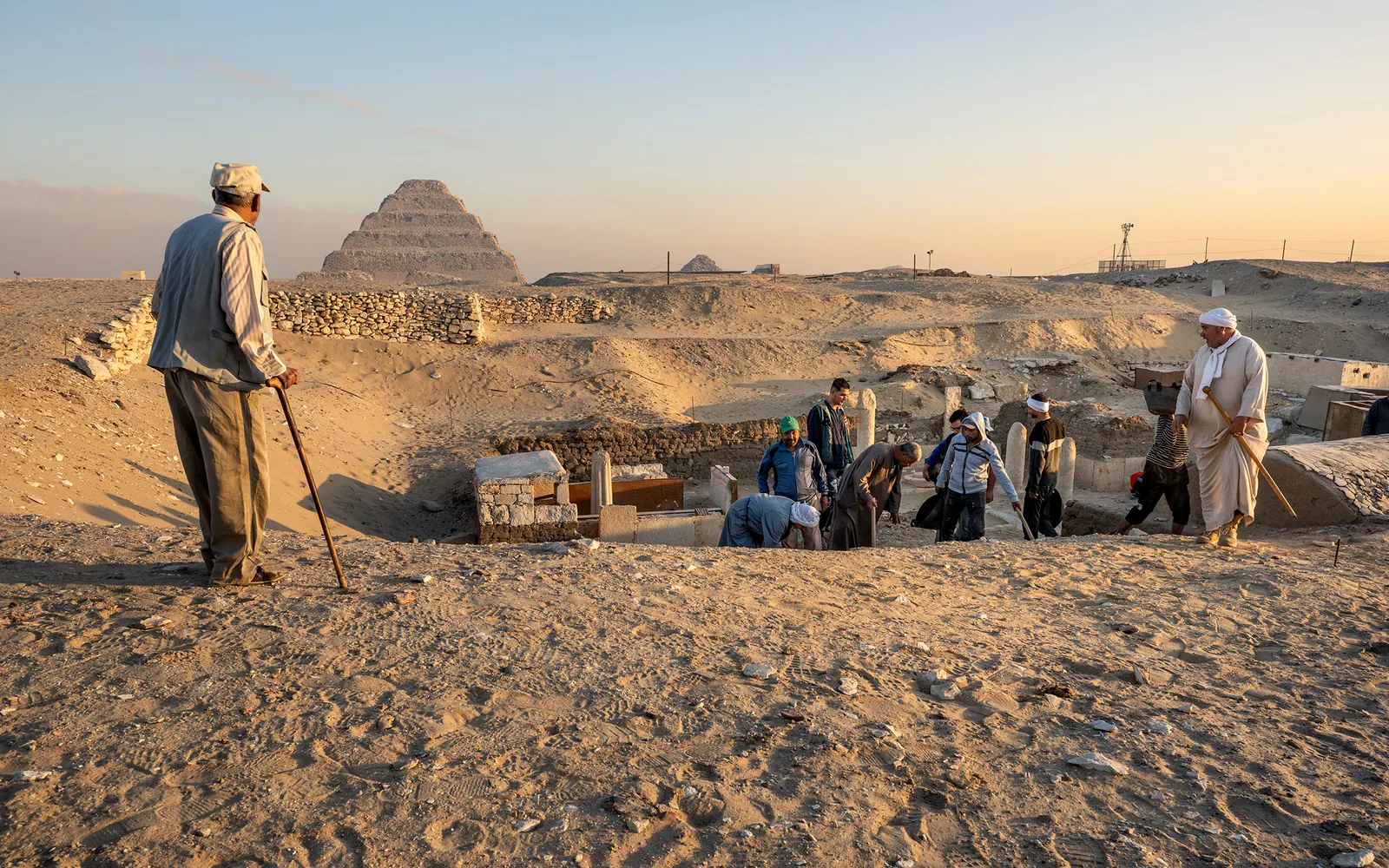
The Museo Egizio takes part in major archaeological missions in Egypt at the sites of Deir el-Medina, Saqqara and Coptos. It works alongside international partners such as the Institut Français d'Archéologie Orientale in Cairo and the Rijksmuseum van Oudheden in Leiden (Netherlands).

Deir el-Medina

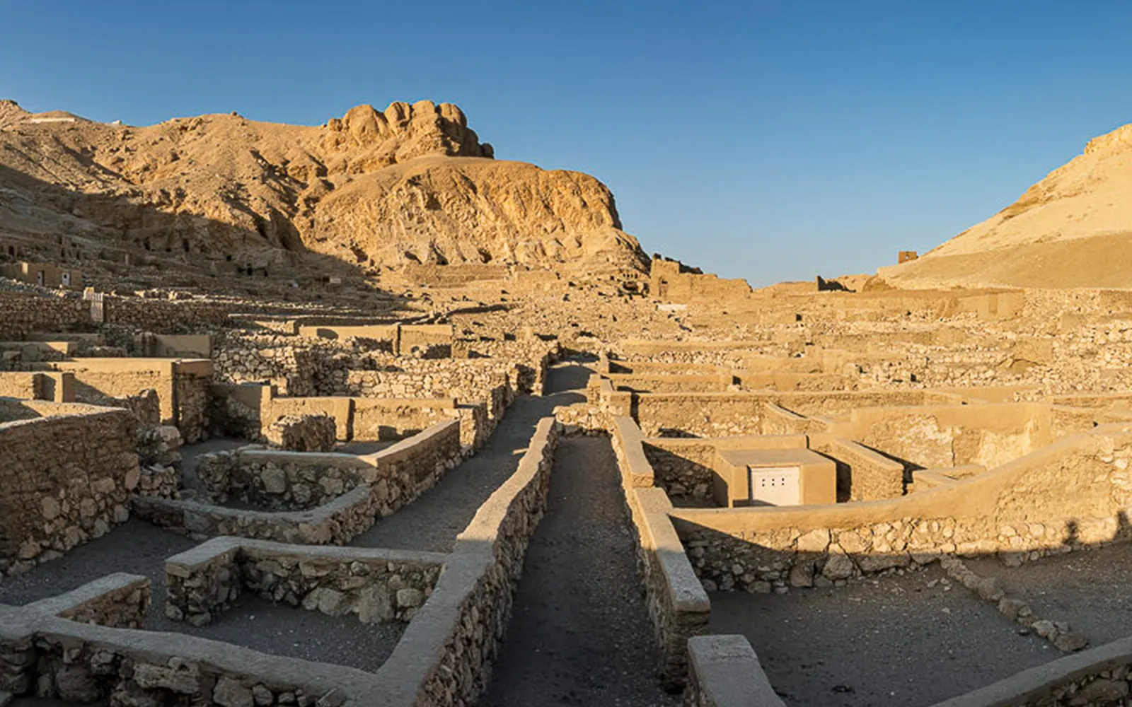
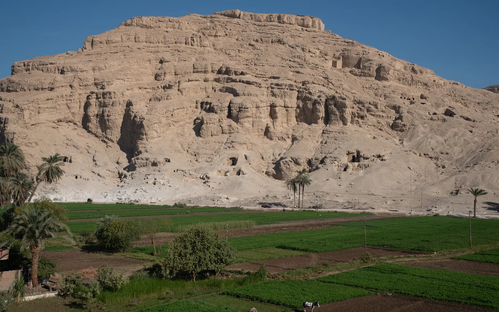
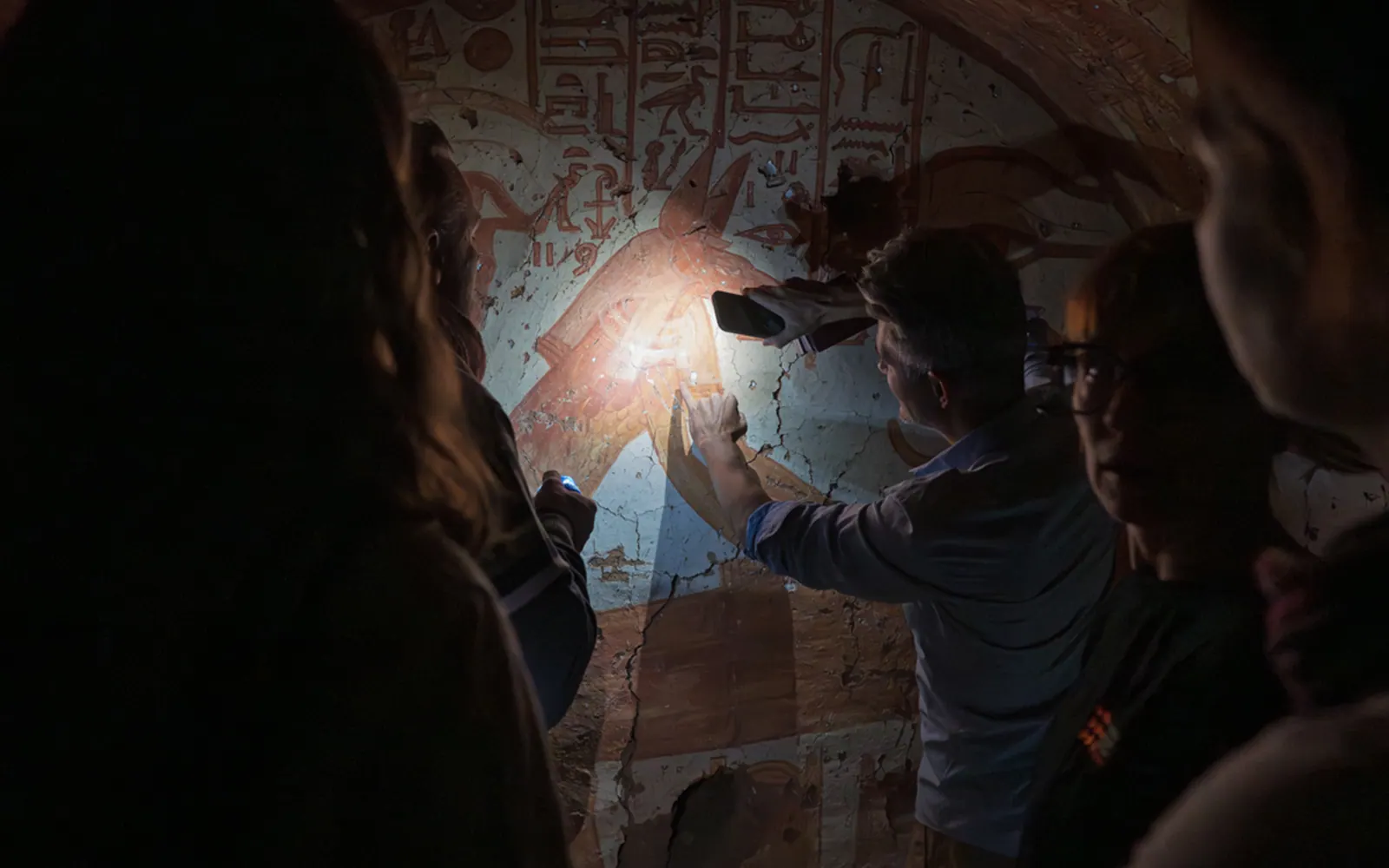
At Deir el-Medina, research focuses on the tombs of Ramesside-period artisans (1292–1191 BC), studying and conserving the funerary paintings inside them.

Saqqara

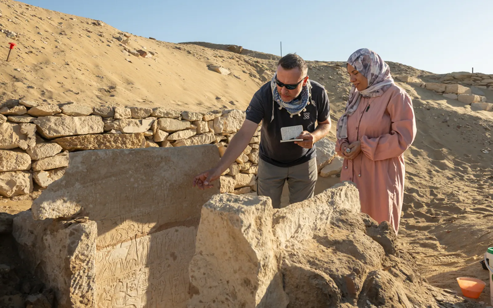
At Saqqara, the ancient necropolis (burial ground) of the capital, Memphis, excavations are piecing together the site's story across every period of its use: from the grand tombs of the time of Tutankhamun (1332–1323 BC), to Ramesside funerary chapels, to traces of Late Antique settlement, to the exploitation of the area during the search for antiquities in the 19th century.

Coptos

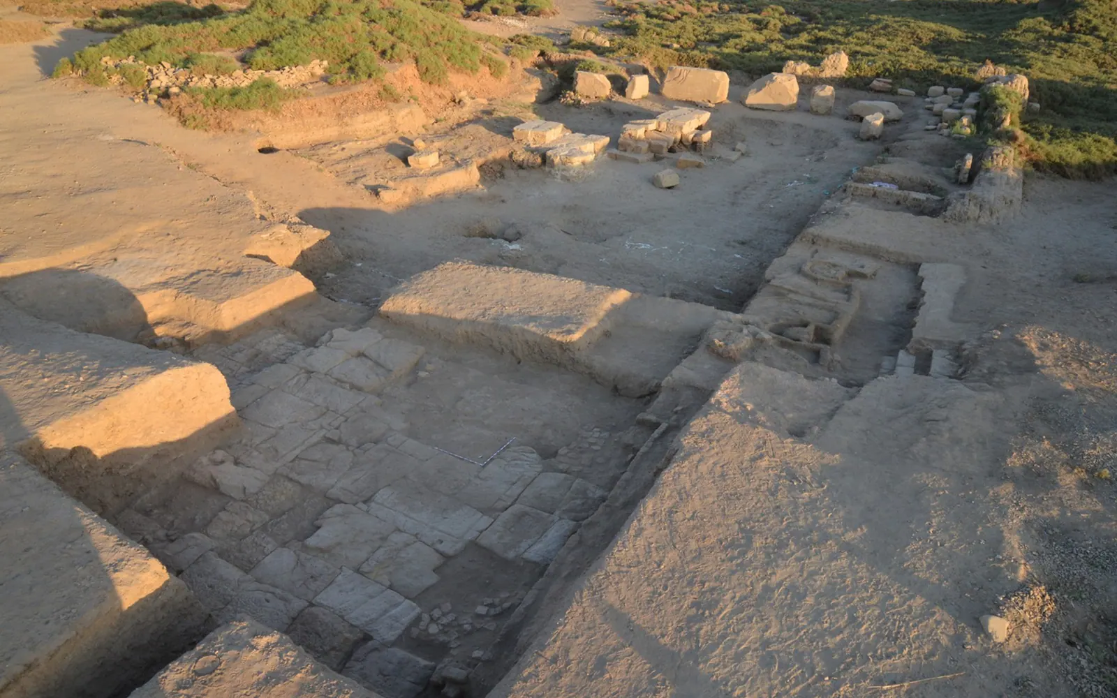
At Coptos, an ancient trading and religious hub in Upper Egypt, archaeologists are reassembling thousands of fragments from a temple built by Ptolemy IV (222–204 BC).

Qau el-Kebir

The Museum also works with the University of Alcalá (Spain) on the excavation at Qau el-Kebir, an important site because it was the seat of powerful governors during the Middle Kingdom (1990–1760 BC).
05Archaeology in the field: from Italy to Egypt

A day of excavation
in Egypt.From dawn to the hottest hours

An archaeologist's day in Egypt begins at dawn, to make the most of the coolest hours of the day. Working hours are agreed with the Egyptian inspector, who oversees all excavation procedures on behalf of the ministry.
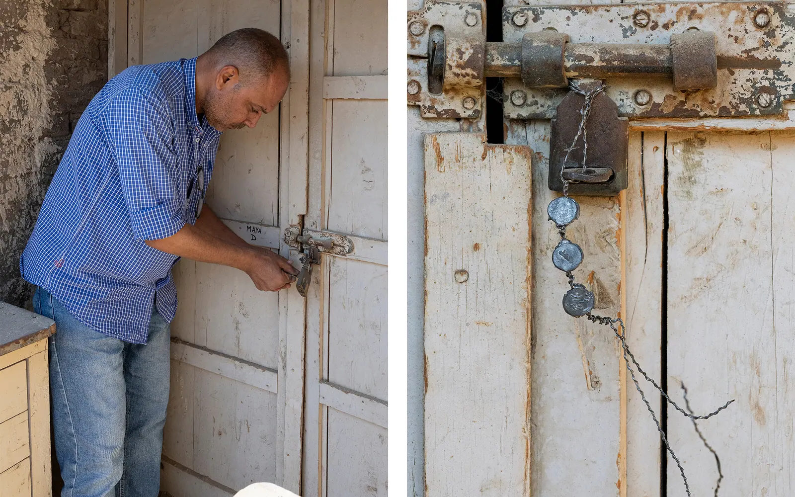
An excavation season can last from a few weeks to several months. On the first day, the inspector removes the seals that close off access to the excavation area, the tombs or the temporary storerooms used by the mission (the archaeological team).
Some members of the mission, together with their Egyptian colleagues, put up the tent that will serve as an office. The rest of the team checks the topographic reference points and sets out the excavation grid. With help from the inspector or a local rais, who coordinates the workforce, the team also recruits the workers needed in the field.
The excavation director plans the day's activities, choosing the areas to work in and coordinating the team. They also decide where to put the soil removed during excavation and the easiest route for carrying it there.
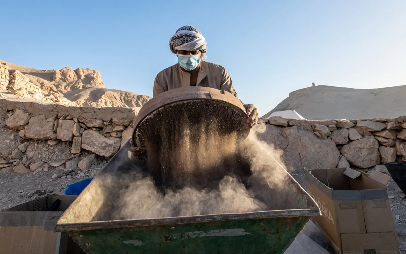
During excavation, finds are handed to specialist staff for analysis. The removed soil is sieved to recover even the smallest remains. Materials such as pottery, bones, textiles and wood are cleaned, recorded and studied. When needed, they are also conserved or restored. Meanwhile, the excavation director works with the team to coordinate the recording and surveying of the stratigraphic units (SU). The director also records the day's activities in the excavation diary.
Work stops mid-morning for a second breakfast, then continues through until lunchtime.
When weather, such as very high temperatures, makes it impossible to keep working in the field, activities continue at the mission house. There, the team organises, checks and studies the records collected during the excavation.
06Why excavate

Why is excavation
important?

Excavation is destructive by nature: to dig is to remove, layer by layer, the stratigraphic units that make up an archaeological deposit. So the decision of whether and where to dig always has to be made with great care. Excavation is just one of the tools available to archaeology, and it is used for different purposes depending on the context.
In some cases, archaeological excavation is planned to deepen what we know about a site and help bring out its historical and cultural value. In others, as part of preventive archaeology, it may be needed to understand and protect traces of the past in areas affected by construction and land development. In both cases, excavation makes it possible to identify and record traces of human activity, study their contexts and gather key data to reconstruct history.
Finally, excavation is valuable in another imporant way: it allows archaeologists to relate specific objects to the contexts where they were made or used. This releases the full potential of the information these objects hold. Sitting in a museum display case, they only ever reveal a small part of it.
Planned excavation and preventive archaeology are two parallel tracks in archaeology. The first is mainly about researching and promoting heritage; the second is about protecting and safeguarding it. They aim at different goals, but both add to our knowledge of the past and help pass on its evidence to future generations.
At the Museo EgizioVia Accademia delle Scienze, 6 — Turin

The story continues in the galleries.

Visit the installation on archaeological stratigraphy in the galleries of the Museo Egizio.

Plan your visit (opens in a new tab)